top of page
TO//B4&NOW
An on-going collection of media showcasing Toronto's past and present.
This series explores different areas of Toronto and its history using archival photos and video shot by the artist.
(please turn on your volume)
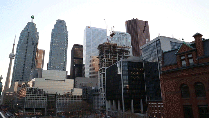
Skyline from Lake Ontario 1908 to 2016

100 Adelaide St West 1946//2016

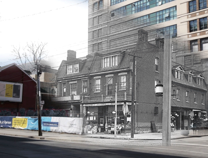
Northwest corner of Dundas St East and Mutual St 1920//2016
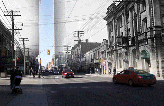
Yonge St looking south at Bloor St 1937//2016
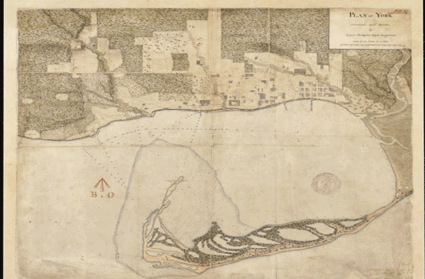
City of Toronto Maps 1818 to 1967
Yonge St looking north at Charles St 1924//2016
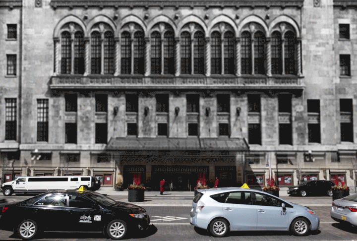
Royal York Hotel, Front St 1929//2016
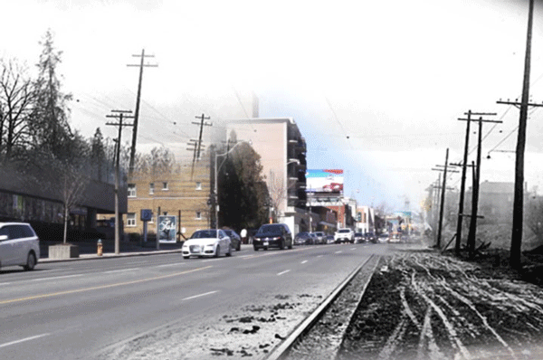
Yonge St looking north at Lawrence Ave 1922//2016
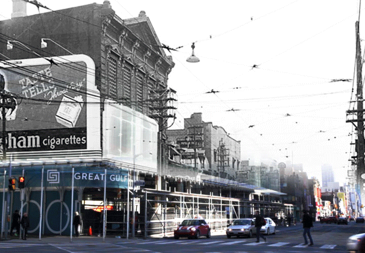
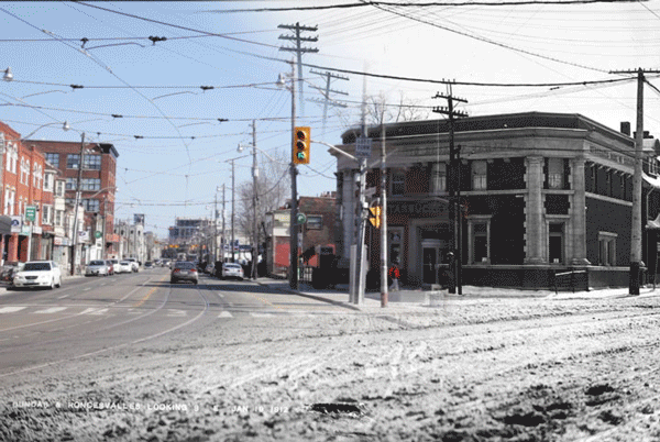
Roncesvalles Ave and Dundas St West 1912//2016
Sunset from Church St and Front St East 04/13/2016
bottom of page